Maps & Weather
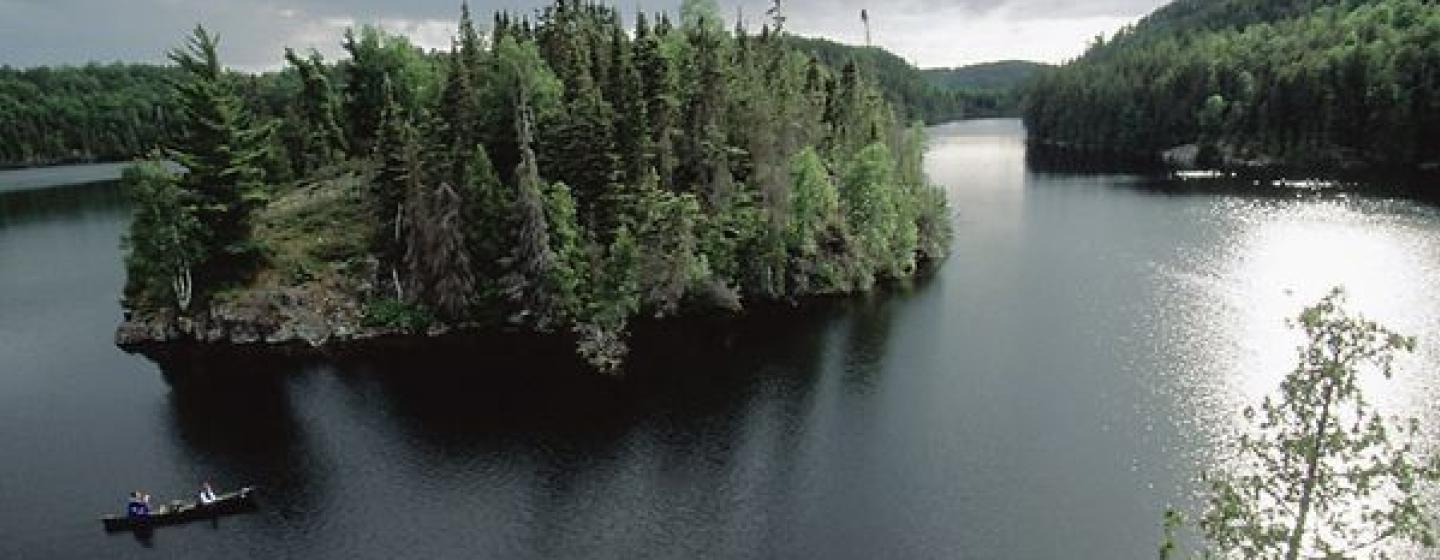
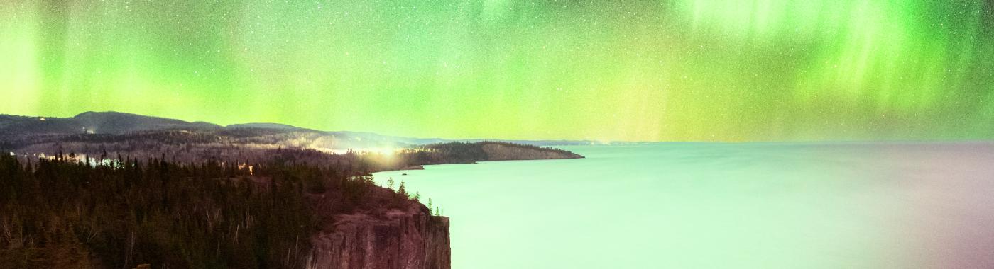
Minnesota has all four seasons
Minnesota has all four seasons
The Minnesota's Department of Natural Resources Site has tons of detailed and interesting maps for all of Minnesota's ecological, topographical, and natural features. You can even make your own customized map of Minnesota based on your production needs!
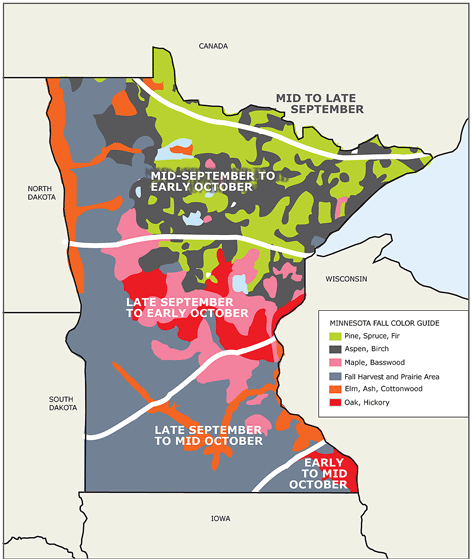
Here's a detailed guide to fall colors around the state including peak dates and locations in all five regions.
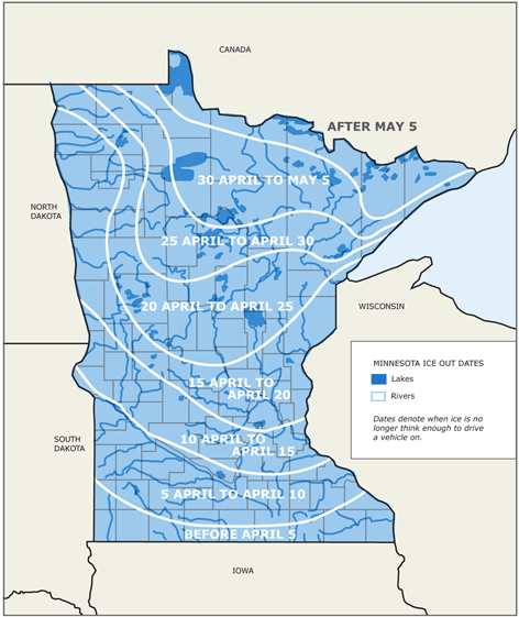
The definition of lake ice out can vary from lake to lake. For the citizen observers reporting data, ice out occurs when the lake is completely free of ice. Or, it may be when it is possible to navigate from point A to point B. Ice out may also be when a lake is 90 percent free of ice. Although this ice out map is not updated in real time, it can provide some general information and statistics on recent years.
Compuweather
Professional weather services: Forecasts, Outlooks, Studies, Advice, Site Specific Forecasts Anywhere! Always a Live Meteorologist - 24/7.
U.S. Naval Observatory Data Services
Sun or moon rise and set tables
International Falls & Koochiching County Cold Weather Testing
The Center specializes in coordinating and locating services and specialized equipment for cold weather operations. Staff has firsthand knowledge of terrain, roadways and locations.
MN Department of Transportation
Traffic and road conditions, weather reports, construction. Delays, detours and more.
Minneapolis Snow Emergency Information
Minneapolis 612.348.SNOW (7669)
St. Paul Snow Emergency Information
St. Paul 651.266.PLOW (7569)